It's taken me some time to get into the frame of mind to blog about our trip. It won't ruin anything to tell you that I did not make it the full 40 miles. That was pretty upsetting for me. My chronic injury caused me some serious pain and I had to stop. Then I came home and my dog ate my pack and my husband's pack (you can read about it here). But finally, I'm ready to tell you about our adventure.
 |
| l to r: My husband, Me, My Cousin and My Mother |
They're hilarious, those two.
The beginning the the trip wasn't too bad. My husband and I were carrying about 30 pounds, my mom around 34 pounds and my cousin somewhere around 20. We were all booking along (and by booking I mean more like going slow and stopping to breathe every 15 minutes) and eventually met our first NOBO (northbound) hiker we referred to as "Duct Tape Boot Guy". He was planning on hiking 200 miles to the Hamburg, PA area but he had a boot malfunction and used his duct tape to keep the sole of his boot attached. Further on, we came to a large rocky
Once out of earshot, we all started to question what kind of terrain we were in for. My cousin and I were slightly puzzled by the insistence of the Wannabes that there was really bad terrain ahead. We are knowledgeable about reading a map and understanding the terrain profile, and we were both under the assumption that once we summited
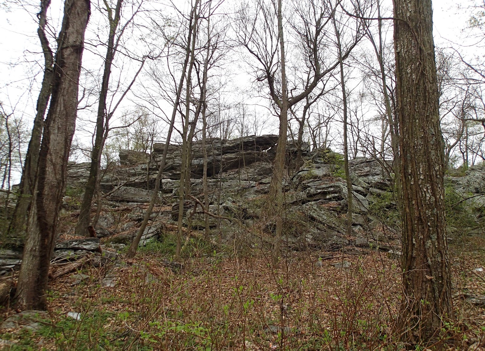
 We were more or less following the ridge line at this point, and we could see some pretty spectacular views through the trees. I also noticed a pair of black vultures riding the thermals just off the ridge. I was relatively certain they were following me- sensing my impending death.
The ridge was pretty rocky at the point. You can see the small boulders in the photo, and we were basically hiking on top of them. It was pretty cool at first, but it got old pretty quick. I was thankful for my Salomon boots as I surely would have ended up with sore ankles if not a badly sprained ankle had I not had the excellent ankle support.


The trail was pretty typical after the boulder field. It had some ups and downs, some rocks, but we hadn't yet come across any really bad terrain like what the Wannabes were describing. We ended up taking a snack break for a bit and met another Flip Flopper who, like the Wannabes, cautioned us about the upcoming trail. Behind him came another Flip Flopper. We chatted about packs (she also sported the Osprey Aura AG) and she mentioned the man we had just met. We talked about his someone gloomy demeanor and my mom mentioned he was a lot like Eeyore the Donkey from Winnie-the-Pooh. This was a spot on description and possibly the start of the man's trail name as the woman was looking forward to telling him about it.
 After our break, we continued our journey south. We came to an area of open field after exiting the treeline, and my husband started twirling around and singing "The hills are alive, with the sound of music..." We stopped for some lunch at the Ensign Cowell shelter and used the privy. In case you're planning a trip, Ensign Cowell's privy isn't that great and neither is the shelter. There are campsites there, and it was a good place to have lunch. We discussed possible trail names for each other. My cousin suggested I should be "Seymour Butts" since I was having trouble with my chronic injury that happened to involve muscles in my butt. Someone suggested my husband should be "The Whistler", I suggested "Maria" after his epic singing and twirling in the clearing earlier. At this point we were about 6- 7 miles into the trip and had about 3.5 miles to go until we reached our stopping point for the day: Annapolis Rocks.
On the way, we were looking for the Pogo Memorial Campsite as it had a good water source and it was an alternate camping option if we just didn't want to go any further that day. Pogo was about 1.9 miles from where we had stopped for lunch. As we hiked we kept wondering if we had missed it. Finally, we caught sight of a man in the woods and I asked where Pogo was. Turns out, we were at Pogo, and the man was the area Ridgerunner named Kyle. A Ridgerunner is someone who's job it is to talk to hikers, pick up trash, clean the privies, clear out any fallen trees, check problems on the trail, etc. Kyle pointed us in the direction of the spring and asked what our plans were. We told him we were planning on going to Annapolis Rocks for the night. He gave us an idea about terrain and the time it would take to hike there. That's where he was headed himself.

We hiked to the water source at Pogo and filled up our water containers. On the way to the water, we passed a woman with her dog heading up to Pogo. Turns out she's also a member of the Women's AT Facebook group, and she had recently fallen and cracked some ribs. Kyle had come across her and carried her pack for her until they reached Pogo. She was heading out to get medical attention in the morning.
 We finished filling up the water and eating a snack and got ready to head out. Kyle had mentioned that there was a fantastic view from Black Rock Cliffs just down the trail. The view did not disappoint. We took some time taking some photos of the view and Kyle caught up with us. He was picking up some trash from around the cliffs. He assured us again that the campsite at Annapolis Rocks was just down the trail about 2 miles and we made our way to our
 The hike to Annapolis Rocks was relatively mild, though we were tired and even the smallest incline seemed daunting. It seemed as though it was taking forever to get there. Finally we saw the sign and made our way down the trail to find a good spot. We picked a large site near the water source which was a pipe coming out of the rock and spilling into a gorgeous pool that fed a stream. We set up our tents (My husband and I had to move ours because we neglected to noticed the large dead limb hanging above the tent in the first spot we picked) and got our dinner ready. Kyle came down to get some water from the spring and said hello. He told us we had the nicest camping spot there; I'd have to agree.
We ate our dinner and prepared to go to bed. There were storms forecasted for the night, so we all got ourselves cozy. The rain eventually started and at one point, it was raining so hard, the rain was bouncing up from the ground. About that time, I had to pee. I started checking the weather radar to see if there was a break in the storm where I could run to the privy and back, but there was no break in sight. I waited as long as possible and eventually donned my Frogg Toggs rain jacket and headed out. I thought the rain jacket would be significant enough on its own without needing the pants. I learned how wrong I was in about 30 seconds when my shorts became soaked through to the skin. I trudged to the privy and back, my Crocs filling with mud with every step. I got myself into the tent and peeled off my clothes trying to keep the water from getting on my new down sleeping bag. I changed my clothes and got under my bag and laid there. I got up a few more times that night to pee, but luckily the rain had subsided. At one point, I got up and could see all the lights down in the valley, and it was breathtaking. It made having a nearly sleepless night bearable, almost.
Stay tuned for Day 2!

No comments:
Post a Comment